September 13-23This is the third and final post about our trip to Portugal in September 2022. Read about the first part of the journey:Portugal Part 1: Lisbon & SintraPortugal Part…
September 13-23This is the third and final post about our trip to Portugal in September 2022. Read about the first part of the journey:Portugal Part 1: Lisbon & SintraPortugal Part…
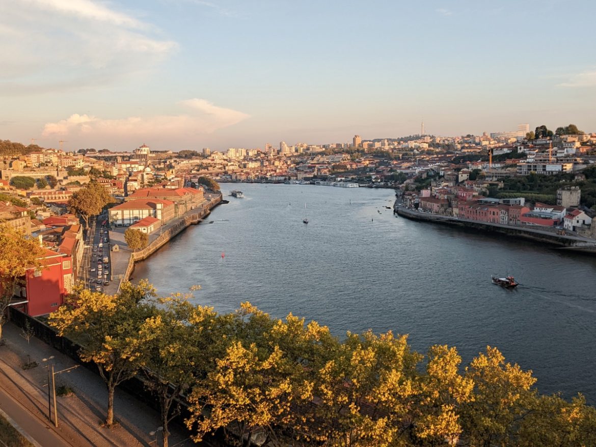
September 13-23In September 2022 we took a trip to Portugal for 10 days. Read about the first part of our journey in this post: Portugal Part One – Lisbon &…
September 13-23Hey! Remember us? We’re still enjoying ourselves in Bend, OR, and have not taken any Airstream trips since arriving here, but we did go to Portugal in September of…
December 31, 2021 I intended to write this post by the end of September, then the end of October, and then the end of November. Well… here we are now…
July 25-31 I was recently asked by a weekend-type RVer about our favorite places to visit. As any full-time RVer is well aware, this is both the most common question…
July 11-24 Over the years, we’ve explored a lot of Washington state – the Olympic Penninsula, the Northern Cascades, east of the Cascades, both north and south – but somehow…
June 19 – July 10 We finished up our time on the Oregon Coast with a long stay at Fort Stevens State Park on the far northern tip of the…
May 30 – June 18 After a week in Florence at the Port of Siuslaw, we continued to make our way north up the coast. Week-long stops at South Beach,…
May 23-29 I first learned about the Port of Siuslaw RV Park (prononced sy-YOO-slaw) when searching along the Oregon coast for campsites using Campendium with the “Public” filter on. It’s…
May 16-22 During our last visit to the Oregon coast, we spent one afternoon hiking around giant piles of wind-sculpted sand. The “trail” through the sand eventually ended on a…
May 2-15OREGON!!!!! Did I say it loud enough? Can you hear me in the back? Just in case you missed it, we are in OREGON! Why so much shouting? Because…
April 25- May 2We awoke on Sunday morning to the sound of steady rain pounding on the parking lot we had called home the night before. With only an hour’s…
March 13 – April 23We rolled out of Arizona early morning on a Saturday in Mid-March. The previous night was spent in a noisy casino parking lot. Not because we…