Friday, October 6
Once again, we’ve decided to maximize our weekend adventures by heading out on Friday afternoon. The trail we want to hike tomorrow is roughly a two-hour drive from here. It’s also in the direction of our intended destination for next week so it only makes sense to move closer rather than drive back and forth. We’re all about bringing our house close to the action rather than parking it and driving long distances with the truck. After all, we have a house with wheels for a reason!
The thing about traveling on Fridays (or any weekday) is that we only have a limited time between when Tim gets done work and when it gets dark. It doesn’t help that we’ve reached the time of year when the sun is setting earlier and earlier. With an hour drive ahead of us and only a kind-of, sort-of plan for finding a boondocking spot, we packed up, hitched up, and set off down the road as early as possible,
Bur first, a detour to the national park to dump our tanks. Spending the summer in Idaho where the national forests have convenient dump stations all over the place really spoiled us. This is not the case in Utah. But the campground in the national park is lovely and I take a few photos while waiting for the water tank to fill. Also, you can’t beat $5 to dump with trash and recycling.
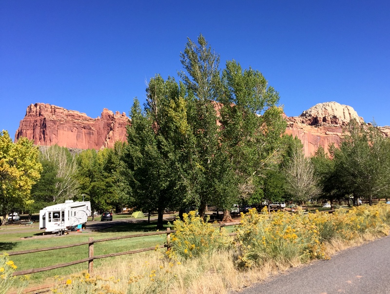
The Fruita campgrounds features mature trees and views of the surrounding rocks
After a quick stop in Torrey for gas and a failed attempt to get propane at the Wonderland RV park (no one on site was available to pump it for us) we headed south on Route 12. We’ve done this drive before in the opposite direction so we knew that we would be climbing up and over Boulder Mountain. I remember what a scenic drive it was last time…but right now with the aspen leaves wearing their bright yellow finery it was stunning.
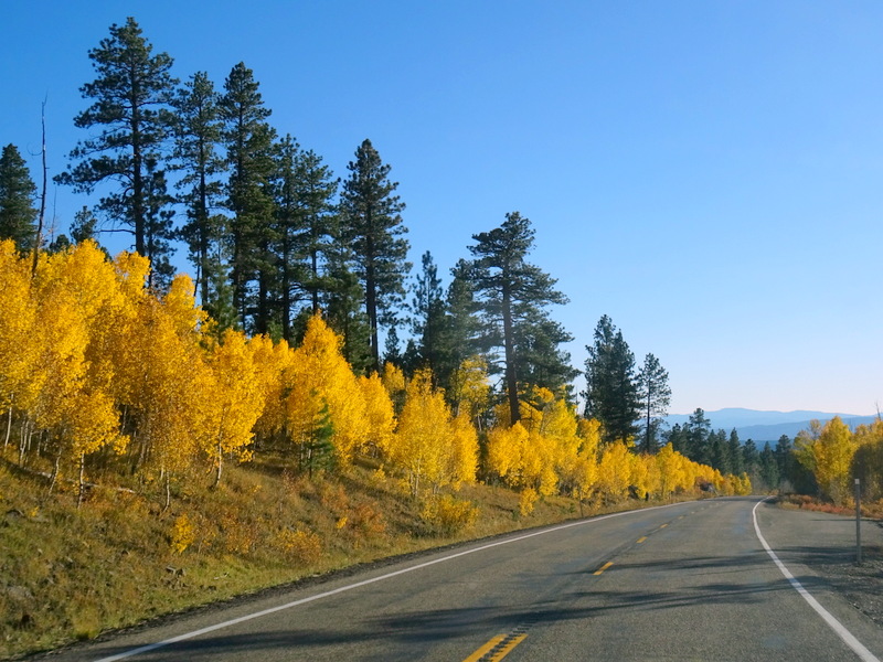
Hello fall!
We reached the tiny town of Boulder and turned left onto the Burr Trail. This scenic road travels for 75 miles all the way to the Bullfrog Marnia on Lake Powell where a ferry will take you to the other side. Or, you can make the turn onto the Notam-Bullfrog Road and travel all the way back to the main part of Capitol Reef.
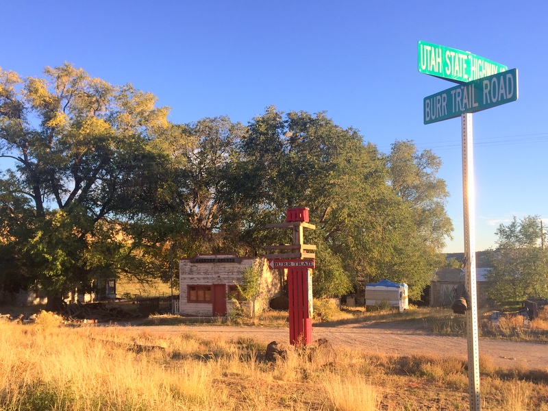
The turn for the Burr Trail – only 75 miles until you reach Lake Powell
There is a sign at the beginning of the road stating “no trailers”, but we knew that as long as found a spot before the tight, winding Burr Trail switchbacks we would be fine. After only a mile or two we entered the Escalante National Monument and starting seeing giant mounds of sick rock lining the road.
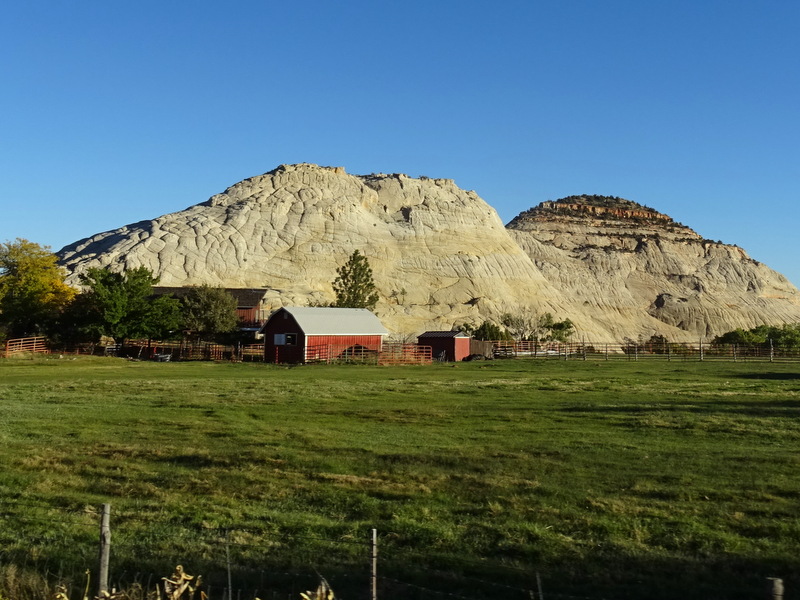
Only in Utah will you see a farm with a massive mound of slickrock in the background
Fifteen minutes later we passed the first boondocking option. A large open, dirt lot at the base of a giant slickrock dome would have been a great spot. But with the trailhead still 35 miles up the road we wanted to find something closer.
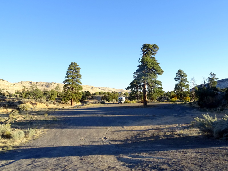
Good boondocking option near the start of the Burr Trail
The second option looked a little rough for the Airstream so we pushed on. The third option was perfect. We pulled over and jumped out to look. The sandy dirt road made a few sharp turns and went up a hill that wasn’t Airstream friendly, but right at the beginning was an easy in, easy out spot just the right size for us.
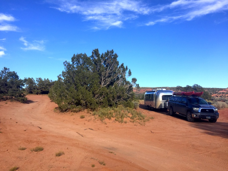
An adequate boondocking spot right off the Burr Trail
Saturday, October 7
With still an hour drive to the trailhead, we got a somewhat early start. A 20-mile drive east on the Burr Trail brought us back into the boundaries of Capitol Reef and to the trailhead for the Upper Muley Twist Canyon. One account I read described the trail as “long or longer”. That’s because to get to the actual trailhead you have to follow a 3-mile 4×4 road and those without a high clearance vehicle will have to add that distance to the hike.
I’m really glad we were able to make the drive because adding an additional 6 miles of sandy dirt road to this already long hike would have made for a very long day. Most of the road was in good condition, but a few rocky sections would have been impassable for low clearance cars.
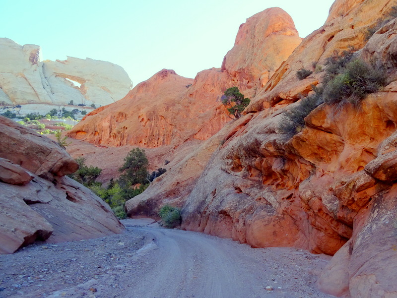
Most of the road looked like this – but the few rocky sections make it impassable for vehicles without high clearance
Twenty minutes later we reached the actual trailhead. Before starting on the trail we hiked the quick quarter-mile trail up to the Strike Valley overlook. Wow, what a view! From our vantage point high up on the water pocket fold, we could see for miles in all directions.
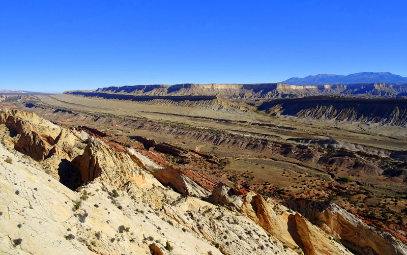
At the Strike Valley Overlook
Back down to the trailhead and then a few peaceful miles of hiking up a sandy wash. The fall colors against the red rocks are really striking.
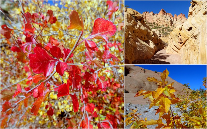
Colorful rocks and colorful foliage
Our first arch sighting was the large Saddle Arch looming above the trail. We later learned from another hiker that some people hike as far as the arch and then turn around. If you couldn’t drive all the way in, this would make sense, but if you were able to drive that last 3 miles, turning around at this point would be a real shame.
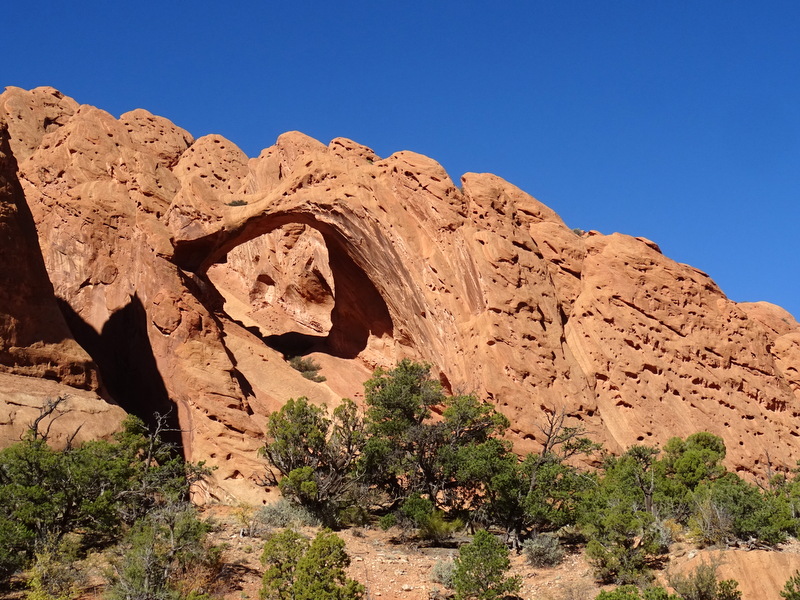
Can you see the saddle?
That’s because the trail only gets more interesting from here. At times it narrowed into a semi-slot canyon, widened into a sandy wash flanked by sloping rocks, and split off into narrow side canyons that wound far back into the rocks. And of course, there were the arches. I’m not sure exactly how many arches are along this trail, but we spotted at least five or six including one tiny arch tucked deep into the wall of a side canyon.
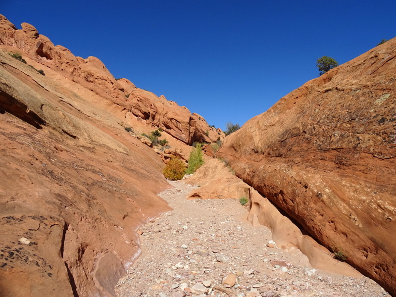
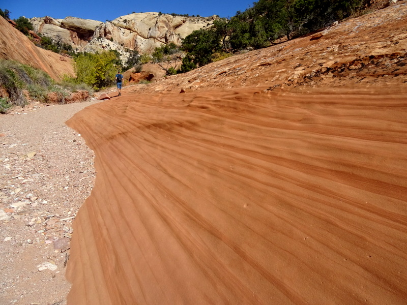
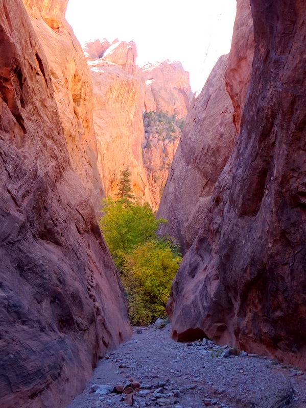
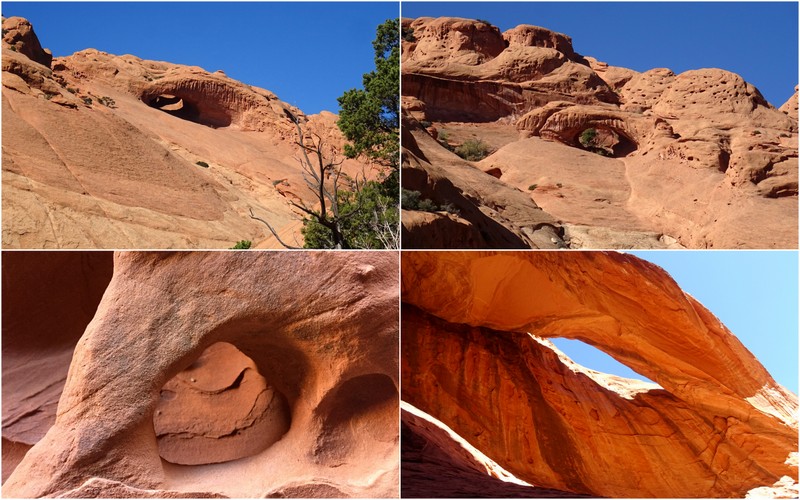
Eventually, we came across a set of cairns indicating the point where we turn and bypass the canyon. We read that continuing forward into the canyon would end at a tall unpassable rock fall. Just for fun, we went to go see. Yup, not going up there, but what a beautiful canyon. Totally worth the side trip.
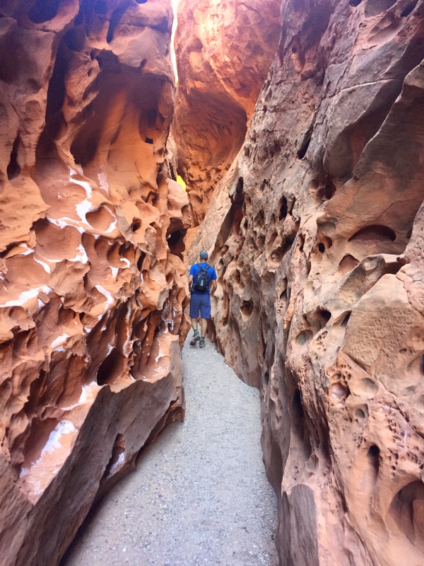
Into the canyon
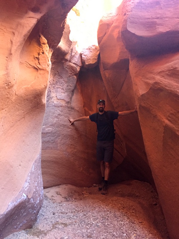
At the end of the road – Tim for scale
Back on the trail, we followed the cairn marked trail up a steep path that scrambled the side of the canyon. What a view from up there. We could see the narrow curving line of the canyon below. Kind of makes you wonder what it looks like down in there.
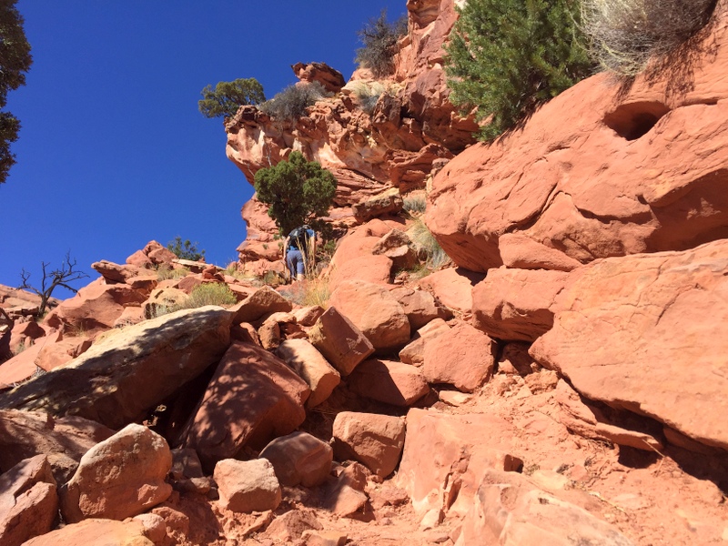
Going up
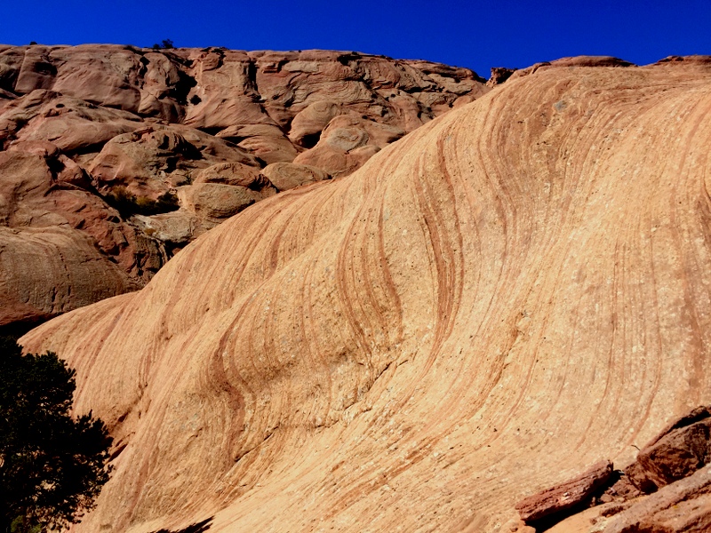
Crazy stuff up here
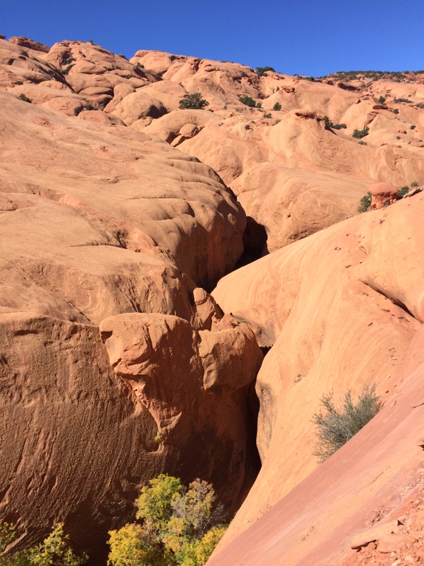
That tiny looking crack is the canyon way below
A quick stop for lunch next to some unique circular rock formations, and then we continued on.
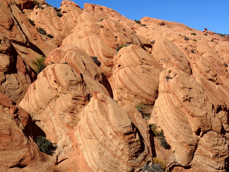
Lunchtime view. What in the world are these bizarre formations???
The trial followed a narrow ledge on the side of the canyon for a few miles. Sometimes we climbed up and sometimes we climbed down. Eventually, the canyon rose up to meet us and leveled off to a sandy wash.
Time to climb again as we turn and scramble up to the top of the ridge for the return hike. It wasn’t a long climb but it was very steep and required all limbs to work together and keen eyes to spot the trail markers. This is not an official NPS trail, so the only trail markers are the rock cairns. Without them, the climb up to the ridge would have been difficult and probably a lot longer as we searched around for the best way up.
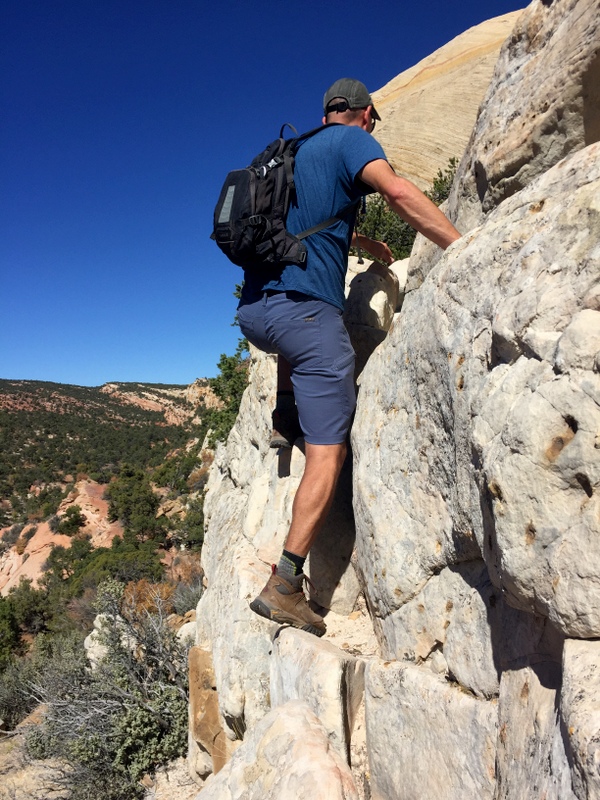
Climbing to the top of the ridge
At the top of the ridge, we paused to enjoy the view.
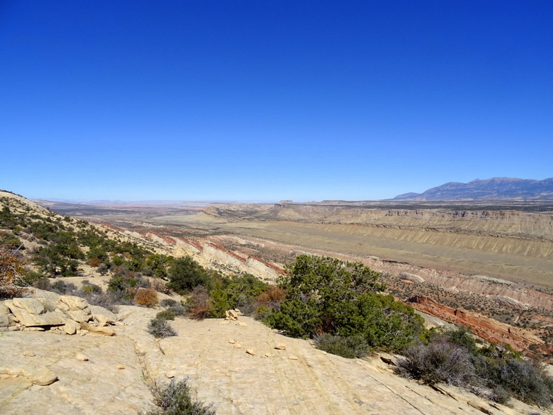
Another view of the Strike Valley
The Upper Muley Canyon trail makes a lollipop shape. At this point, we were at the top of the loop.Fromm here we would follow the ridge back in the direction we came and then drop into the canyon to complete the loop before retracing our path on the stem of the lollipop.
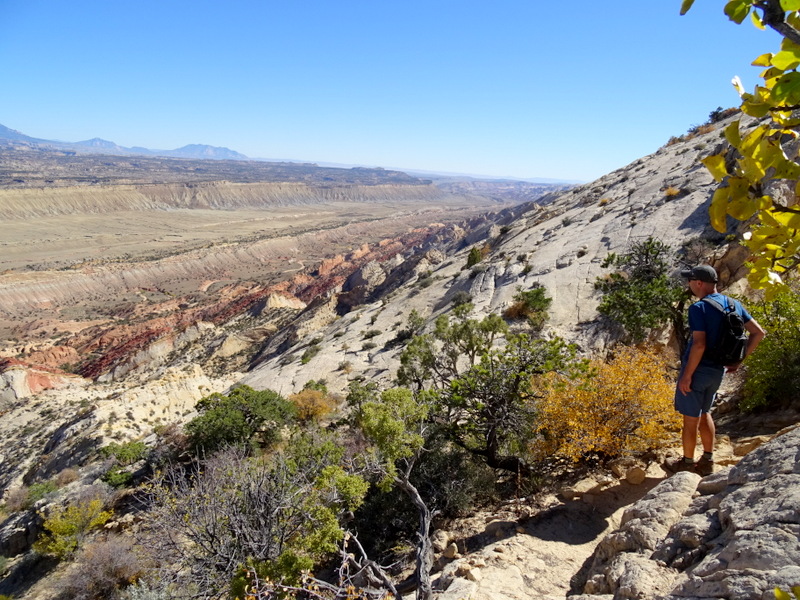
The views from the top were spectacular the whole way
Hiking along the ridge was certainly scenic, but not as easy as walking through the canyon. This was far from a flat-topped ridgeline. For nearly the entire way we were either climbing up or climbing down. In some places, we had to walk sideways on the steep slickrock cliffs trusting that our shoes would stay gripped to the rock.
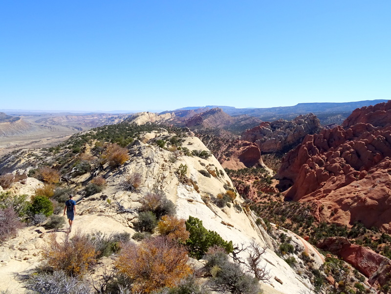
Strike Valley on the left, Muley Canyon on the right
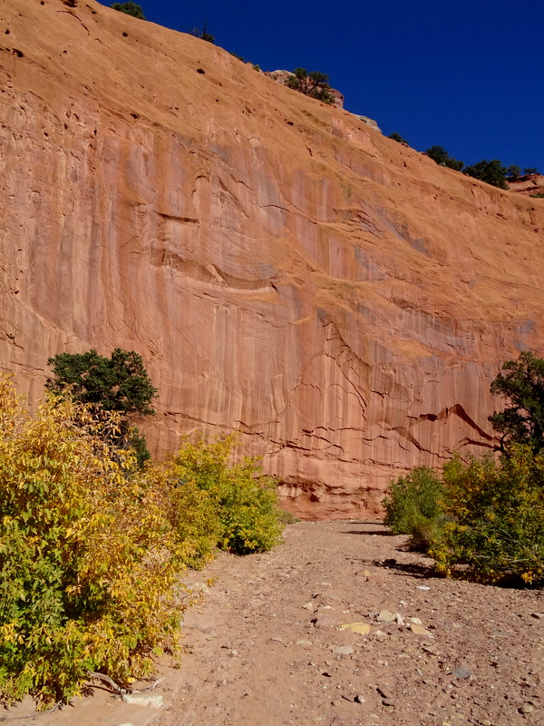
After what felt like forever, but was probably only 3 or so miles, we finally dropped back down in the canyon right near where we had spotted the Saddle arch.
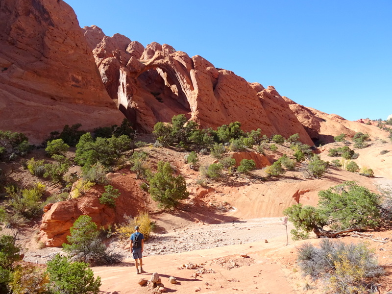
Completing the loop near the Saddle Arch
From here it was less than 2 miles back down the sandy wash to the parking lot. When all was said and done we hiked nearly 10 miles including the side trip to the overlook and the detours we took in the side canyons. Needless to say, we were very happy that we didn’t have to walk another 3 miles back to the start of the road.
At some point on the trail, we decided not to spend another night here and instead head to Escalante tonight. From Boulder it’s only a 30-mile drive to Escalante and getting there tonight would allow us more time tomorrow for another hike. So from the trail, we made a quick stop to pick up the Airstream and then back down into Boulder. It was a bit early for dinner, but after all the scrambling and rock climbing we were both starving and wanting dinner before the final leg of the journey.
There are two choices in this tiny town — the Hell’s Backbone Grill which everyone and their grandmother has recombined to us, and the Burr Trail Grill which one person recommended. I’m sure Hell’s Backbone is delicious, but we really wanted burgers and since that what the Burr Trail Grill specials in, that’s where we went.
It was definitely the right choice. Locally raised grass-fed beef, fresh buns and interesting flavor combinations like the Thai peanut burger that Tim had and the southwest burger that I had made for a wonderful meal. We highly recommend the Boulder Grill for a quick and satisfying meal after a long day on the trail!

Delicious!

10 comments
Your determination and fearlessness is so admirable!!! Thanks for sharing your adventures.
Determined, but certainly not fearless! I will admit to being a bit scared at times on this hike, but being able to work past that fear has lead me to some amazing experiences.
The colors are beautiful! Love the aspens.
Aren’t they pretty? I wanted to stop up on the pass to see more of them, but with the Airstream behind us, there were very few places to stop.
Love the fall colors and the burgers looked good…..Dave
Utah has definitely surprised us with its beautiful fall display. And yes, the burgers were delicious!
Love living vicariously through your adventures and adding to our list of must go and do!
This is one to put on the list for sure!
That is a hike I’ve wanted to do for years! Thanks for taking me…it looks awesome!
You guys would love it! The numerous arches and variety of terrain made for a really fun and challenging day.