When it comes to national parks in Utah everyone always talks about Zion this and Arches that. But for some reason hardly anyone is talking about Capitol Reef.
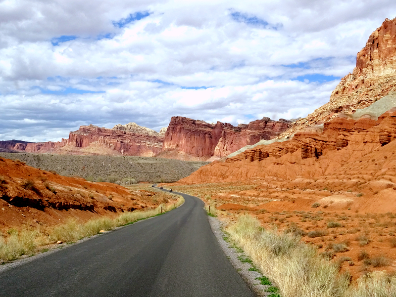
Maybe because it’s far from a major highway, and the tiny nearby town is somewhat lacking in shopping and lodging options? Or maybe because Capitol Reef doesn’t have the equivalent of the iconic Delicate Arch, or an infamous trail such as Angel’s Landing? Whatever the reason, this often overlooked park is absolutely worth a visit.
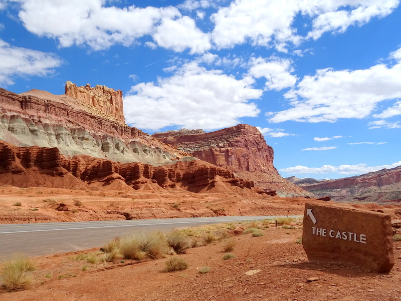
The dominating geographic feature of Capitol Reef is the Waterpocket Fold. This massive fold in the earth stretches for over ninety miles in the form of parallel ridges that rise from the desert floor. The exposed edges of the uplift have eroded into a slick rock jungle of domes, cliffs, and twisting canyons.
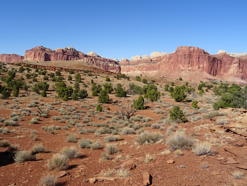
The national park is located near the middle of the fold where a particularly colorful section of Navajo sandstone forms capitol-like domes and sheer cliffs that are often referred to as a “reef.”
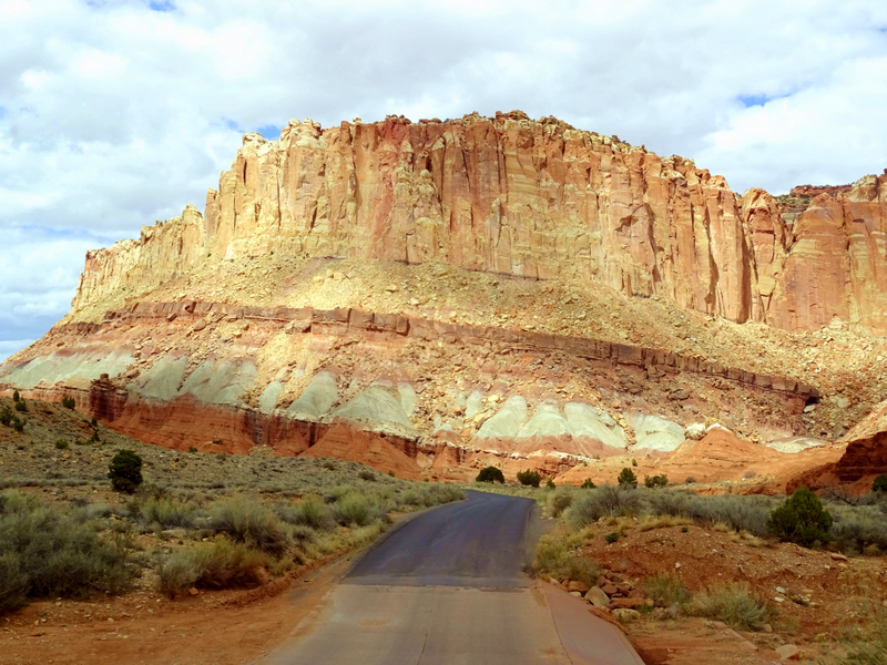
The park has a great 20 mile round trip scenic drive (all the photos above are from the scenic drive), but since our favorite way to explore parks is on foot, we made an effort to get on the trail as much as possible during our week long stay. Our traveling friends Pam and John told us that Capitol Reef is a hiker’s paradise. So after pursuing their numerous blog posts about the area (definitely worth a read if you plan to visit here. These two really know how to get out on the trail) we picked a few 5-mile and under hikes that we could do after work and set off to explore.
First up was the Hickman Bridge Trail. This is one of the most popular hikes in the park for good reason. Not only is it relatively short, clocking in around 2 miles round trip, but it offers an up close and personal view of a giant natural bridge that was formed by flowing water over millions of years.
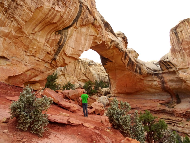
The bridge is a bit hard to photograph since you would need to hike down into a steep, rocky chasm to view it from the optimal angle, but this photo at least shows the size. This giant rock bridge stretches 133 feet across, and stands 125 feet tall.
On the way back down the trail we stopped a couple times to take in the view. The road you see below is Route 24, the only major route that travels through the Waterpocket Fold.
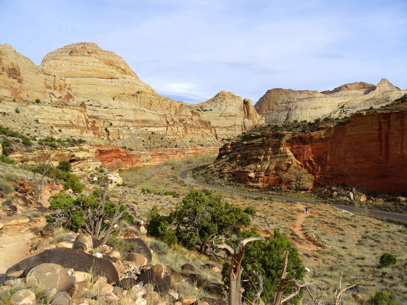
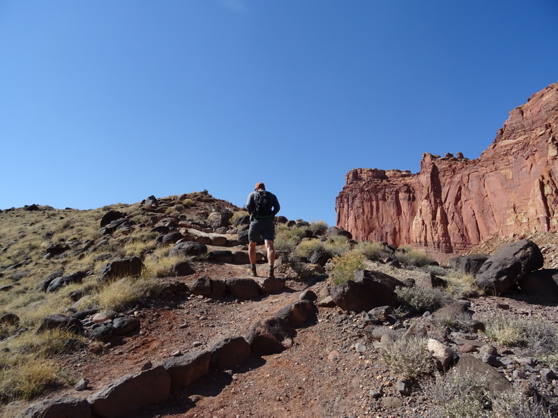
After stretching our legs with this short hike, the next day we upped our game with a longer, more strenuous hike to the Fremont Gorge Overlook. This 4.6 mile round trip hike gains over 1,000 feet in elevation and offers stunning panoramic views of the surrounding area and a deep gorge at the end. The trail starts with a short climb up a service road and quickly ascends a series of steep steps to the top of Johnson Mesa.
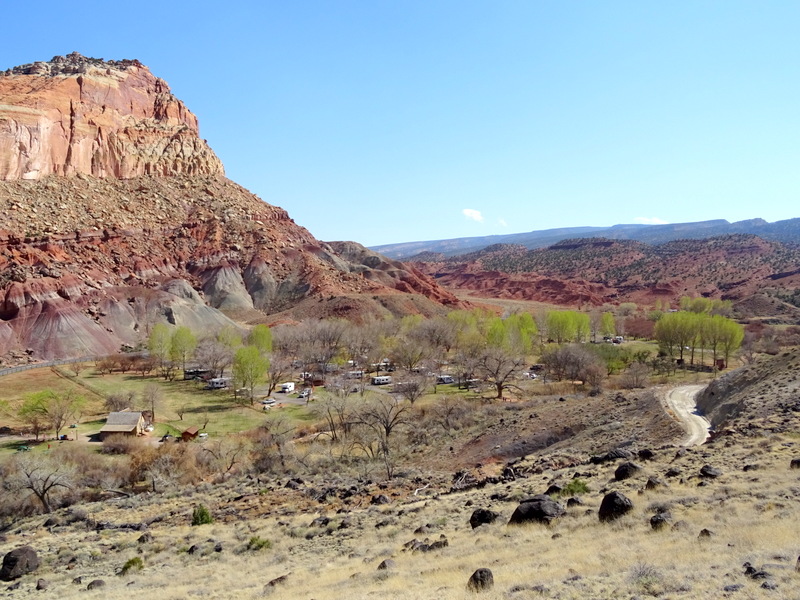
At the top we had a great view of the Fruita Campground. This is the only campground inside the park, and a very popular place to stay. The “campground full” sign was out everyday, but I have heard that the turnover is high, so if you arrive in the morning when people are leaving it’s possible to get a spot (no reservations). We didn’t even try because there is zero cell service inside the park.
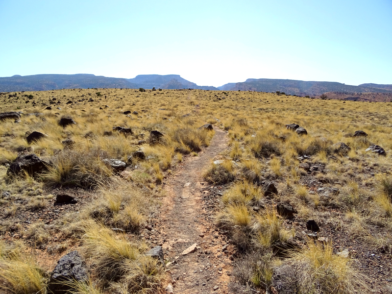
The initial climb was followed by an easy walk across the top of the mesa. We followed the well worn path lined with waving yellow grass past rounded black, volcanic rocks. These rocks are leftover from the last Ice Age (10,000 years ago) when rocks from the nearby Thousand Lake Mountain and Boulder Mountain broke up under pressure and came tumbling down the hillsides.
After about a mile the flat meadow gave way to low junipers and pinyon pines, and the trail began to climb again. I didn’t take any photos on the way up because we were hiking straight into the sun, but trust me when I say that this last uphill push was hard. It didn’t help that we had hiked up past 6,000 feet in elevation where the air was noticeably thinner.
The uphill climb was well worth it when we reached the overlook and were greeted by this view of the Fremont Gorge.
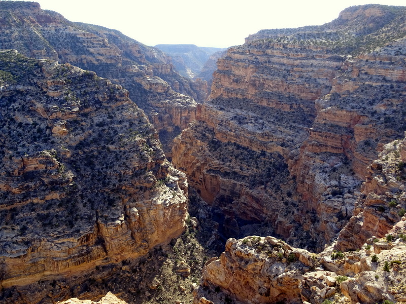
I read somewhere that the yellow limestone in the this gorge is some of the oldest rock in the park, dating all the way back to the latter half of Paleozoic era, about 540-250 million years ago. Hmmm… makes you wonder what it will look like in another million years.
After enjoying a snack with a view, we wandered over to the other side of the overlook where the Fremont River exits the gorge and flows down into the town of Fruita.
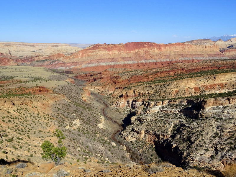
The way back was nearly all downhill making for a quick return trip. This ended up being one of our favorite trails in the park. We were simply in awe of the panoramic views, and the uphill sections provided a great workout with a chance to catch our breath in the middle on the flat section. For reasons that I can’t explain this is not a very popular trail, and we didn’t see a single other hiker.
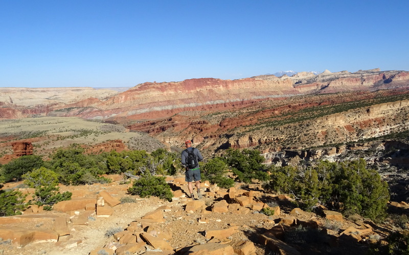
The next day we decided to hike the Chimney Rock Loop. At 3.5 miles round trip this was another perfect length trial for us to do after work.
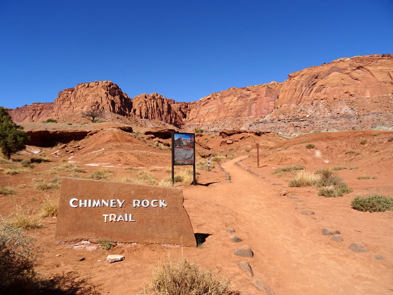
The trial starts with a series of switchbacks and an uphill section that brings you to a point overlooking Chimney Rock.
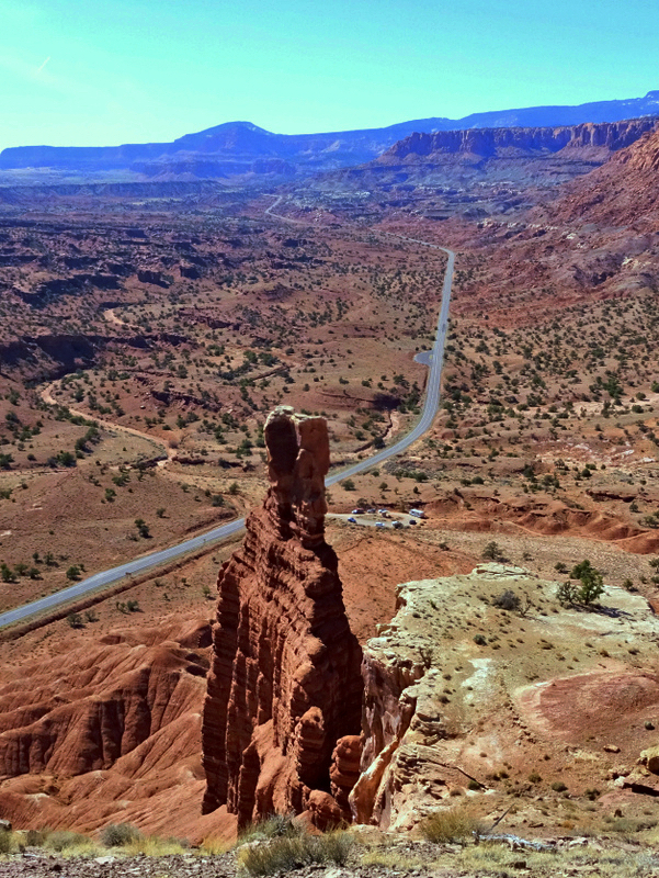
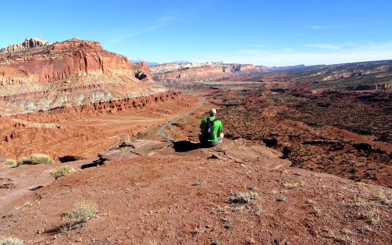
From there we followed the trail to the top of the rim where we found a spot to rest and take in the view.
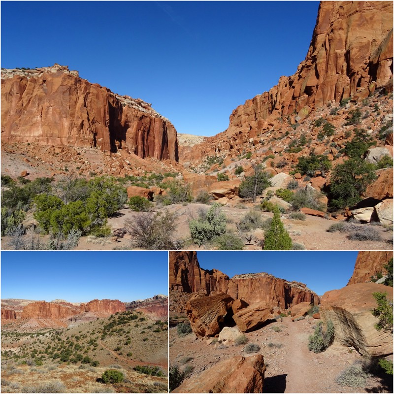
The trail then looped around away from the rim and traversed through some boulders and a sandy wash before meeting back up with the first section of trail at the top of the switchbacks. Once again, this trail was nearly deserted and we only saw a small handful of other hikers.
With the weather cooperating (mid-60s everyday) we kept the hiking streak alive the next day with a hike to the Golden Dome. To reach the trailhead we drove all the way to the end of the Scenic Drive, then turned onto Capitol Gorge Road. This narrow dirt road that winds its way around sheer cliffs was once the only route through the Waterpocket Fold.
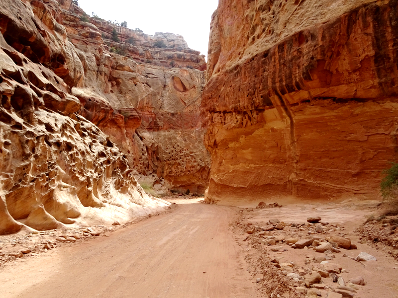
The trailhead was packed with cars, but we only saw two other groups of hikers on the trail. I guess everyone else took the trail that followed the gorge instead of climbing up the slickrock to the base of the dome. Too bad for them.
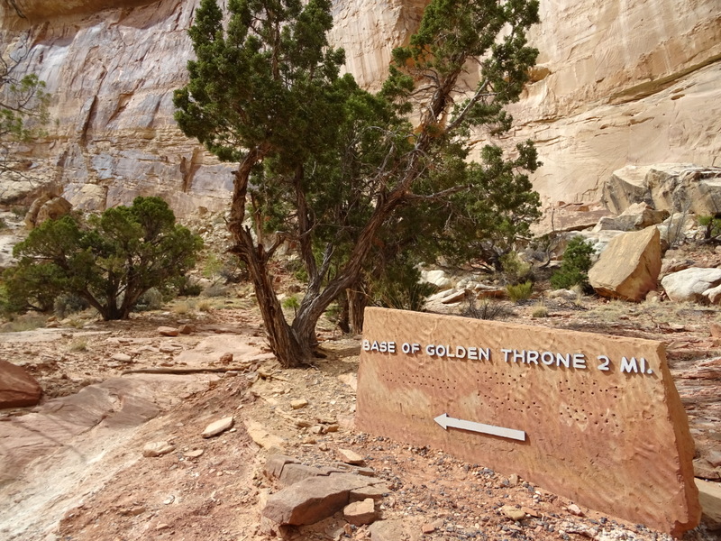
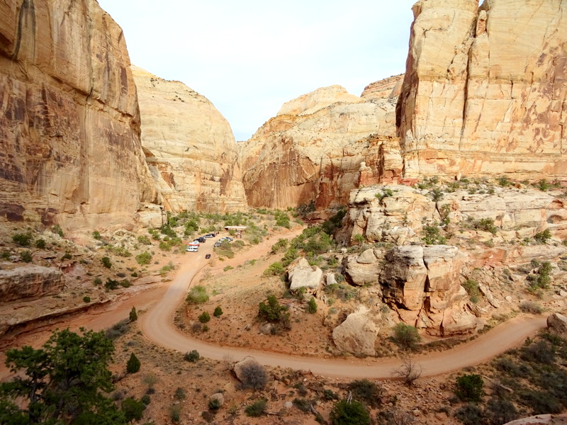
This trail was rated strenuous, and while it was uphill for most to the way, I think strenuous might be a bit of an exaggeration. We’ve noticed that national parks tend to categorize hikes as strenuous even if there’s only a tiny section of rock scrambling or steep uphill. I guess it keeps people from complaining that the trail was too hard, but it also might scare some people into thinking it’s above their ability when in reality most people of average fitness could have managed this hike.
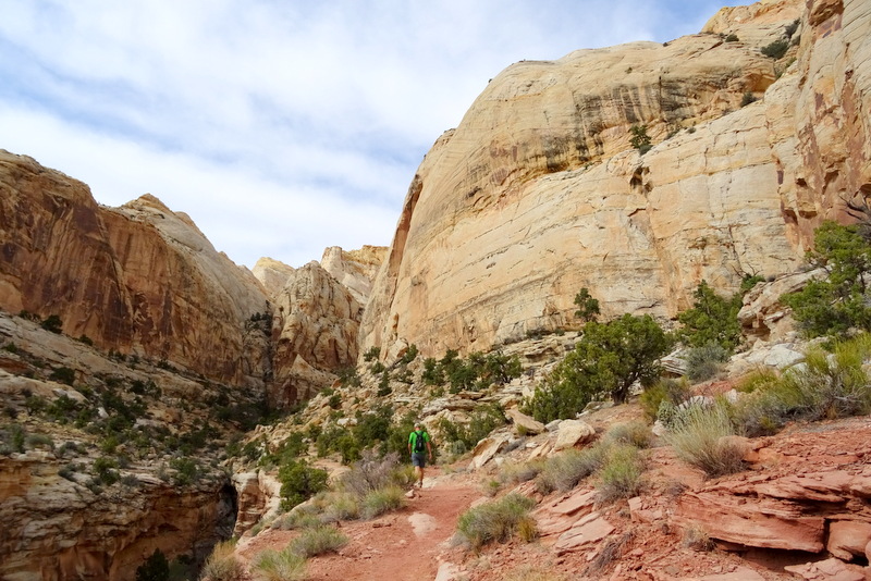
About halfway up the top of the Golden Dome came into view.
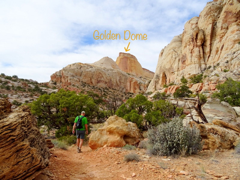
And then we were there. Well, kind of there. The trail ends quite far from the dome itself, but the view is nice. Notice how the very top of the dome appears to be capped with a different type of rock then the base? This section is a small remnant of the Caramel Formation that was formed here in the mid-Jurassic period. It’s one of the few places in the park where you can see this type of rock.
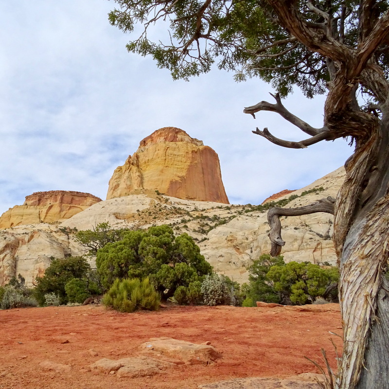
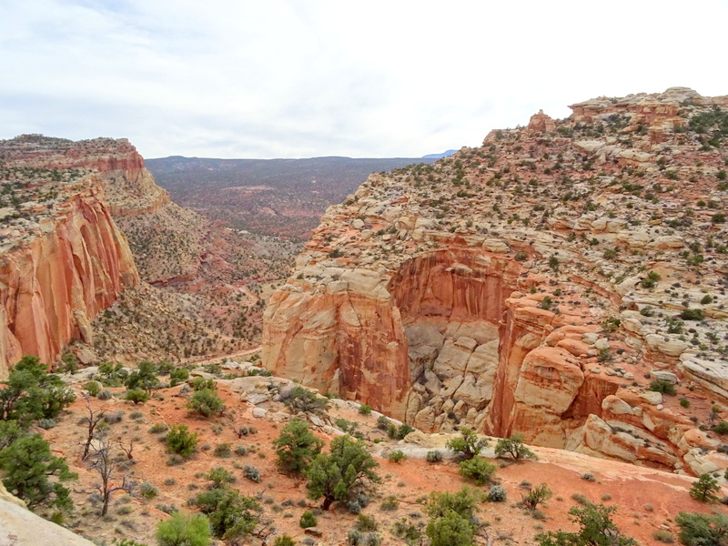
By walking about ten feet past the ‘Trail Closed’ sign we found a great overlook to enjoy our snack with a view. If you look closely you can see the Capitol Gorge Road below.
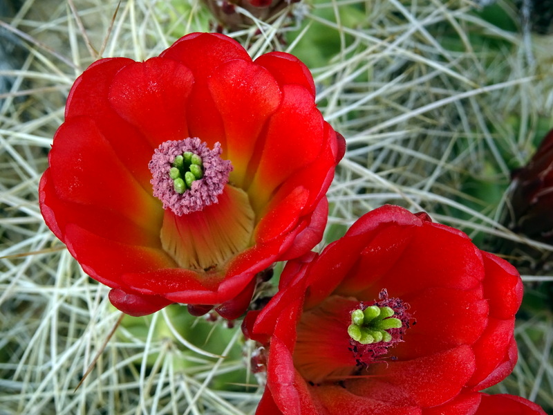
On the way down I spotted this gorgeous blooming Cactus.
We had really hoped to get in one final hike on Saturday before we left for Moab. Pam and John recommend that we go the long way to the Cassidy Arch via the Cohab Canyon and Frying Pan Trail. This longer hike would have been perfect for the weekend…except it rained on Friday and Saturday putting an end to our Capitol Reef hiking fun. Next time!
A few things to know if you visit Capitol Reef…
The only town near Capitol Reef is Torrey. Much like all the towns in this part of Utah, it’s a very small town that caters mostly to the tourists who come to admire the rocks and hike the trails. The season was just starting during our visit, but it seemed like a cute little town with lots of dining options and plenty of places to camp.
Campgrounds
Fruita Campground: As I already mentioned this is the only campground inside the national park. Here you will find 64 first-come-first serve sites with no hook-ups. There is a dump station and fresh water spigots on site. It fills most days, but I’ve heard that many people only stay a night or two so your chances of getting a site if you arrive before noon are good.
RV Parks:
There are three private RV parks in town. The Wonderland RV Park is on the corner where Route 12 and 24 intersect, the Sandcreek RV Park is a few miles to the west across the street from Cafe Diablo, and the Thousand Lakes RV Park is about a half a mile past that. After hearing that the cell service in town was pretty weak, we decided an RV park with WiFi was our best bet for the work week. We choose Thousand Lakes based on some reviews stating that there was a small amount of AT&T and the WiFi was usable. Turns out neither of these things was quite right.
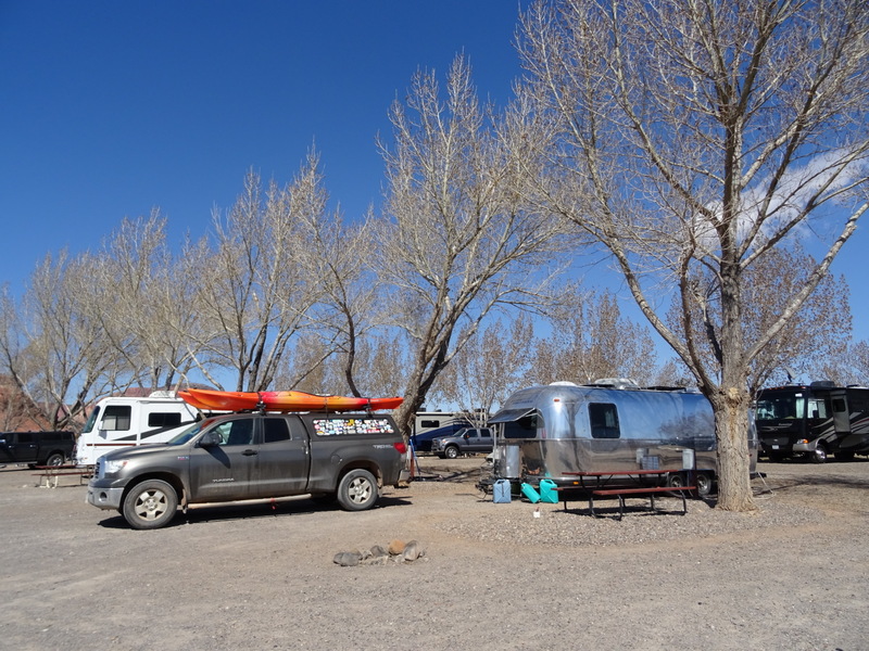
I’m not sure if the tower has been recently updated, or if the reviewers who reported only a tiny amount of AT&T had devices that could only pick up a 3G signal, but I can confirm that all around town we were able to get a very strong AT&T LTE signal (no booster needed). There is little to no Verizon anywhere here though, so if that’s all you’ve got you are out of luck.
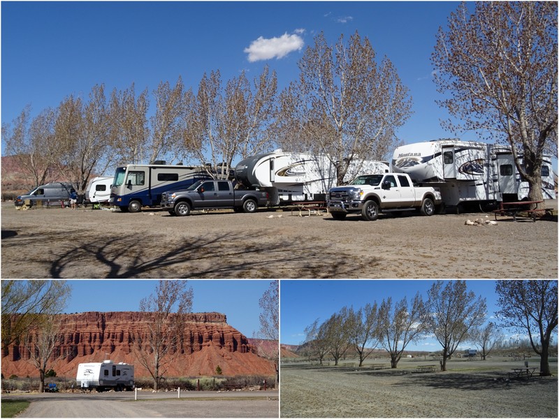
Oh, and the WiFi at the campground was pretty slow (expect for the one time I tried it at 5:30 am). No big surprise there. It was a nice park though with good size sites, large trees for summer shade, and even some views of the Waterpocket Fold. We didn’t use the bathrooms, but the laundry area was sufficient, and they have a nice gift store and market on site.
You’ll probably never hear me rave about an RV park, but this one was pretty nice and the weekly rate was reasonable at $219 + tax for full hook-ups. It was also convenient to town and only a 20-30 minute drive to most of the areas in the national park.
Boondocking:
There’s not a lot of boondocking near Capitol Reef, and if you want a site with cell service, you’re limited to two small areas of BLM land. Once again, most of the reviews I read stated that the Verizon was non-existent and the AT&T weak in these spots. And once again when we drove over to check out them out we got 3-4 bars of strong AT&T LTE. Since all the reviews are from last year, I’m thinking that the tower must have been recently updated.
You can find both spots listed on Campendium. The more popular area is called Capitol Reef Overflow. It’s not a very large area and had a good number of RVs every time we drove past. Expect to have neighbors here. The second area is Beas Lewis Flat Rd. There’s only a few spots on this road, but if you can snag one you’ll be one happy camper. Great views, good privacy, and once again, a strong AT&T LTE signal.
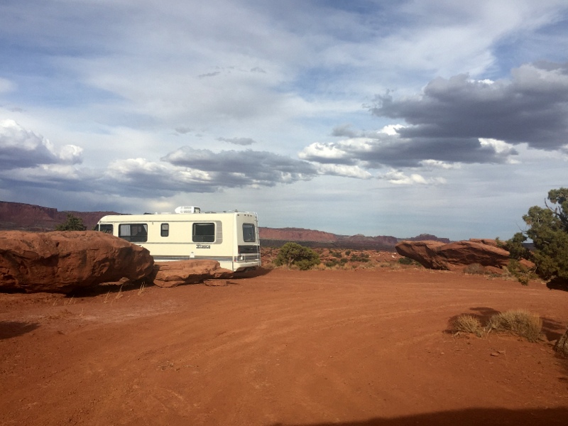
Boondocking on Beas Lewis Flat Rd. This could have been us!
In hindsight, had we known that the AT&T was so good we probably would have skipped the RV park and just boondocked. On the other hand, it was a nice treat to have full hook-ups for a week which allowed us to take long showers and do some much needed deep cleaning.
Food:
Since this is a very small town, there is no real grocery store to be found. We made a quick stop at the Chuck Wagon General Store on the day we arrived and managed to find enough items for a dinner salad, but I wouldn’t try to do a week’s worth of shopping there.
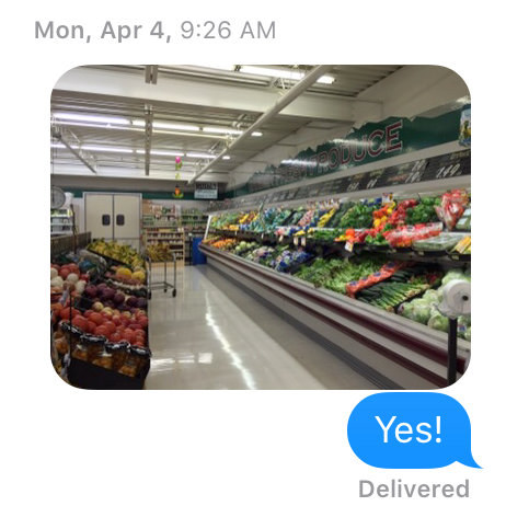
Since we were coming from Escalante with a nearly empty fridge I did some research ahead of time and discovered a larger grocery store called Royal’s Food Town about 20 minutes away in the town of Loa. Normally, I wouldn’t consider this place anything special, but after a few weeks of pitiful fresh food selection I was overjoyed when I walked in and saw the large produce section. So much so that I sent Tim this text message expressing my joy.
For a small town Torrey has a decent selection of restaurants. There’s Mexican, pizza, a few small cafes, a burger joint, and even a steakhouse with live music (not open until May). I can’t comment on any of them though because didn’t eat out at all. We’re really hoping to repeat our Route 12 loop late next summer and fall with more time spent in each area. For now though, we’re off to Moab…

14 comments
You two found a jewel. It is beautiful!
Thanks for all the great photos and the information. Happy trails.
Pamelab in Houston
Capitol Reef is one of our favorites. So much hiking! I think the best hike we did was into Spring Canyon, which is off of the Chimney Rock trail. And if you missed out on pie at the Gifford Homestead in the park, be sure to check it out next time.
We saw the sign for that hike, but didn’t know where it went. Sounds like that one to put on the list for next time (and pie)!
Your photos are beautiful…we hope to get there one day.
Thank you for another great review of a National Park. We plan to be in Moab in late June and hadn’t thought about going to Capitol Reef but now I think our plans could change. Great photos.
If you’re going to be in Moab the drive to Capitol Reef is only about 3.5 hours, and totally worth it in my opinion!
I second Gayle’s recommendation. That Lower Spring Canyon hike is one of my all time favorites, both ends of it, actually. The “upper” part of the Lower Spring Canyon is the most easily accessible part of it, reached from the Chimney Rock trail. (While both ends are stunning, the other one requires fording the river.) “Bleeding from the eyeballs” red rocks!! And oh….The Pie. ;-) What a gem of a park, indeed!
Lower Spring Canyon is now on the list! We’re almost certain that we’ll be back next fall for a longer visit. My list of hikes is growing….
We’ve camped at Fruita Campground a couple of times and loved it — even picked apples one fall (they let you harvest fruit) and made a crisp to share with neighbors. :-) But we were only there a couple of nights each time and hiked just a couple of trails — we need to get back there! Thanks for all of the great info and beautiful photos.
I’ve heard so many great things about the campground. Someday when we don’t rely on the Internet so much we’ll have to stay there!
Looks really beautiful, love all the photos! We’re staying in Fruita in June at the James M. Robb Colorado State Park. Their campground has FHUs as well. We’re really looking forward to seeing Capitol Reef, and hoping it is still less traveled than the others :-)
We stayed at that park a few years ago. Very beautiful and close to the Colorado National Monument…but not the same Fruita :) That one is in Colorado about 200 miles from Capital Reef. You’re going to love it though!
Great post and timely for us because in 20 days we’ll be at Capitol Reef for a week. Thanks for the hiking information and links, and for the grocery store info too — getting fresh produce every 3 days or so is important to us too so thanks for the details!
I’m always happy to pass on info about hiking and good food to other travelers. Definitely check out the blog I posted a link to above for much more hiking advice. Have fun!