WatsonsWander
  • Travel Journal
  • Our Airstream
  • Live Infographic
  • About Us
  • RV Resources
  • Contact

WatsonsWander

  • Travel Journal
  • Our Airstream
  • Live Infographic
  • About Us
  • RV Resources
  • Contact

This Week in an Instagram / April 6-12

written by Amanda April 13, 2014

On the roadCaballo Lake State ParkCaballo Lake State Park
Caballo Lake State Park
Caballo Lake State ParkHatch, NM
Sparkys BBQ
Sparkys BBQ
Sparkys BBQ
Lake Valley Ghost Town
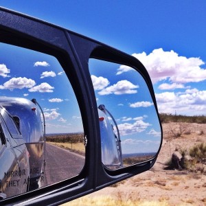
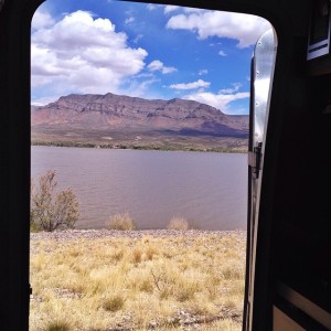
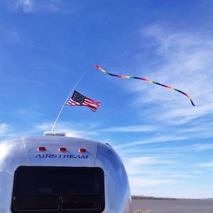
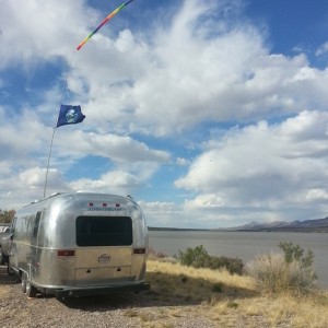
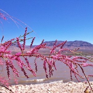
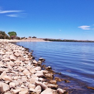
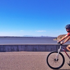
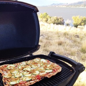
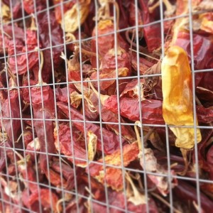
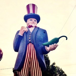
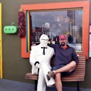
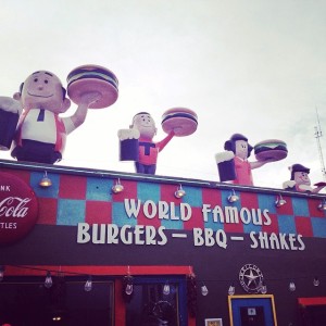
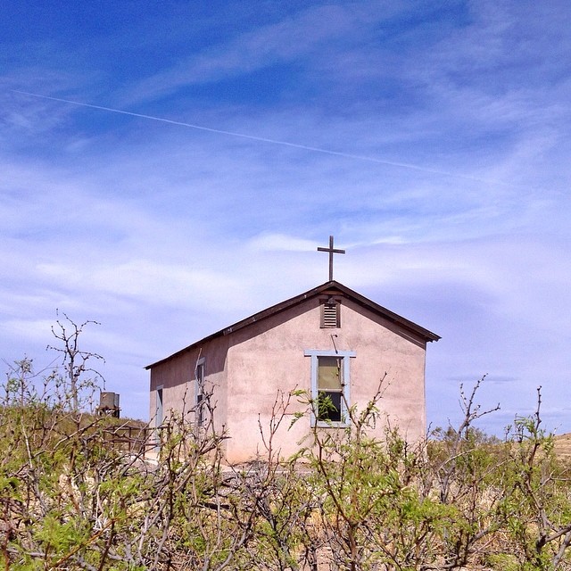
On the road / Out the door view at Caballo Lake / Flag flying at the lake/ More flags, more lake / Pretty spring flowers / A calm day on the lake / Bike riding on the dam / Pizza on the grill – with a view / Famous Hatch Chilies in Hatch, NM / A man and his chili / Tim and his new friend / Trying out all the world famous goods at Sparkys / Abandoned church in the ghost town of Lake Valley

2 comments
0
Facebook Twitter Google + Pinterest
Amanda

previous post
Caballo Lake State Park
next post
Ghost Towns & Green Chilies

You may also like

A Day at White Sands National Monument

March 31, 2014

This Week in an Instagram/ June 8-14

June 15, 2014

Oliver Lee State Park

May 2, 2014

This Week in an Instagram / March 16-22

March 23, 2014

This Week in an Instagram / July 20-26

July 27, 2014

Leaving New Mexico & Entering Texas

October 15, 2014

Adventure Saturday: Smoke & Lava

May 20, 2014

All Alone in Albuquerque

April 25, 2014

This Week in an Instagram / Sep 14-20

September 21, 2014

Good Times in Santa Fe

May 27, 2014

2 comments

Kat April 14, 2014 - 10:42 am

You guys boondock inh some lovely places. Hope you can help us with this one. Last year you stayed outside Sedona on FR 525. Directions seem to be 7 miles on 89A S of town. We drove to Jerome on 89 A to visit without trailer of course..how is that 7 miles? Our AS is 28′. Thanks for any help.

I’ll keep following you guys along..enjoy your blog!
Our blog is http://www.lifeonthebluehighways.com Cannot seem to get the address put website.

Reply
Amanda April 14, 2014 - 10:57 am

Hi Kat,
Here are the GPS coords for where we stayed -34.872974,-111.905365. Or you can just go to the map on our Where page and click on the pinpoint in Sedona (year 1 map). You will see a little Google maps icon that will take you right to the location on a map. From where we stayed it was actually a 9.7 mile drive to the center of town taking FR 525 north and then Boynton Pass Rd. to the center of town. In the other direction (if you’re headed north on 89A) you drive 4.7 miles on FR 525. The road in both directions is dirt with some washboard. Not huge ruts of bumps and we had not issue towing over it. But it is a dirt road and that was a year ago so I can’t be positive what it looks like now.

It was an amazing spot with gorgeous views and easy access to hiking trails. Hope it works out for you!

Reply

Leave a Comment Cancel Reply

This site uses Akismet to reduce spam. Learn how your comment data is processed.

days on the road

About The Watsons

About The Watsons

This is the story of Tim & Amanda. Since 2012, we have traveled the U.S. while living and working from our renovated 25-foot Airstream. Follow us on our crazy journey in search of beautiful scenery, fun adventures, interesting people, tasty foods, and more…

Keep in touch

Facebook Instagram Pinterest Email

Subscribe by Email

* indicates required

Wandering Threads Embroidery

Wandering Threads Embroidery
  • Facebook
  • Instagram
  • Pinterest
  • Email

@2017 - PenciDesign. All Right Reserved. Designed and Developed by PenciDesign


Back To Top