Today is our fourth day in Glacier National Park, and oh man do we have a lot to share with you! The views, the hikes, the wildflowers, the lakes and rivers…I could go on and on. This is our first day with internet access since we arrived on Sunday so I have a ton to catch you up on. Here we go!
Day 1:
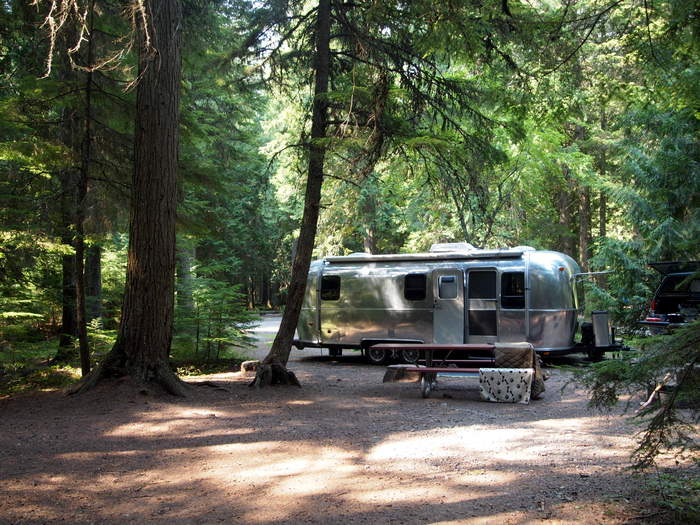
We left Flathead Lake Sunday morning and drove just about two hours to the west entrance of Glacier NP. The main road through Glacier is called the Going-to-the-Sun-Road (from here on out referred to as GTTS) and any vehicle larger than 21′ long, 8′ wide and 10′ tall can only travel part of the road. Since we exceed all of those limits that meant we were restricted to a campground on the west side of the park where we entered. We choose Avalanche Campground which is 18 miles from the park entrance, and as far as we were allowed to bring the airstream on the GTTS. Turns out it was a great choice with large, wooded sites, hiking nearby and lots of open spots. The only downfall was no internet or cell phone. We expected this though and planned accordingly for a few days.
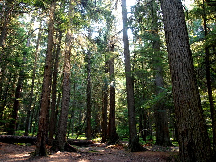
It seems that we could have easily gotten a site at any campground in the park this time of year. Much different from Yellowstone where most of the campgrounds filled everyday. The difference is probably due to the time of the year and the fact that most kids have started back to school. We’ve noticed far fewer families with kids, and far more older couples and people our age. Avalanche is a heavily wooded campground, and our site was bathed in deep shade for most of the day.
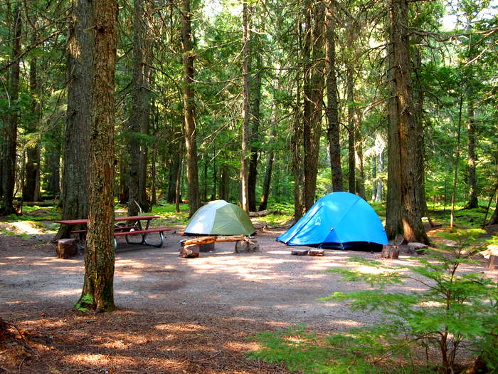
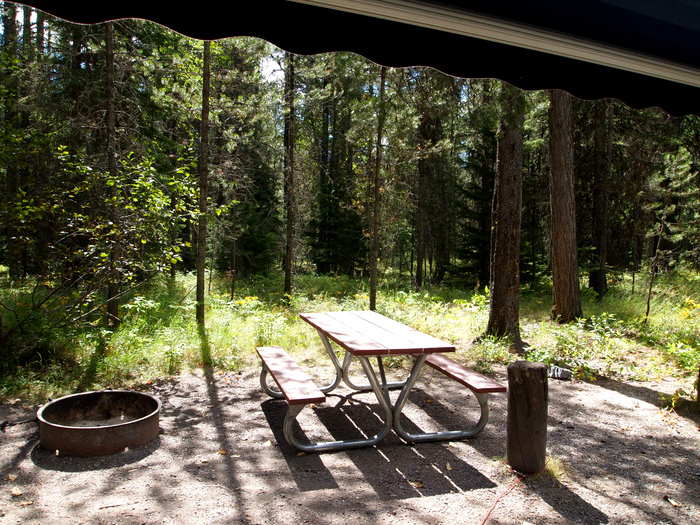
One of the great things about campgrounds in bear country is how neat everyone keeps their sites. The first afternoon I walked around with Phineas and every site looked like this:
We were one of the few RVs in Avalanche campground. All of the sites are pull thru, but the pull thrus are curved and some of the curves were pretty tight which means anyone longer than us would have a hard time getting in and out. We actually had to back out of our site when we left because there was a tree on one side, and a dumpster on the other which Tim said would make it impossible to go forward. Truthfully though, I think he was just afraid that since this is our second pull thru site in a row he might forget his backing skills.
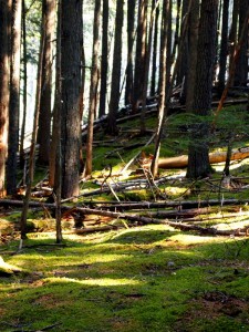
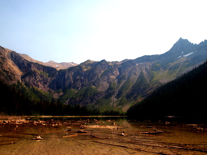
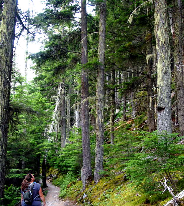
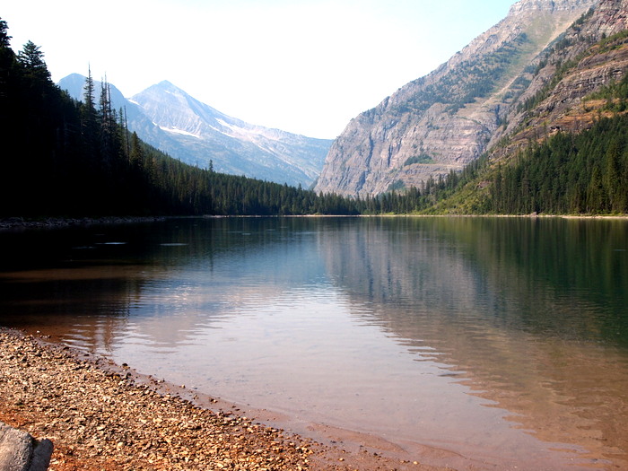
That afternoon we went on a wonderful hike up to Avalanche lake. The trailhead was at our campground which was perfect since we were getting a late start in the mid-afternoon. The trail traveled through tall trees with mossy undergrowth before reaching a small glacier fed lake with tall cliffs all around.
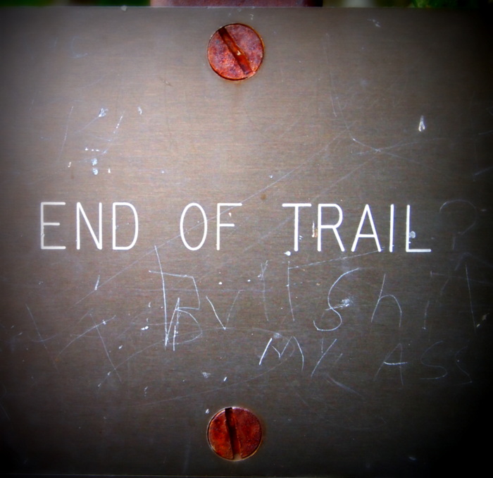
After pausing at the edge of the lake we continued to follow the trail to the far side.
The view from this side of the lake was spectacular. A few hardy souls ventured into the frigid water but neither of us were feeling that brave.
Day 2:
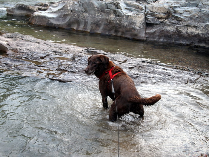
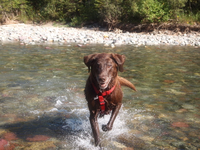
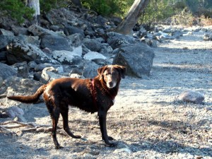
Our second day in the park was a Monday which meant that Tim had to get some work done. So I took Phineas down to the river for a swim. Technically he’s not allowed anywhere in the park except campgrounds and parking lots but I figured as long as we stayed away from the trails no one would bother us. The air that morning was only 53 degrees so you can imagine how cold the water must have been. Phineas is not fussy when it comes to water though, and he hesitated for exactly 2 seconds before plunging in and beginning his favorite rock digging game.
The water was moving very fast so I kept him on a leash. He might not have minded the cold water, but I certainly didn’t want to go in for a rescue!
After lunch we headed up the GTTS road. Probably the most amazing thing about this road is the fact that it was built at all. Construction of the road began in 1921 and was not completed for 12 long years. Check out this link for an interesting article about how the road was constructed. The GTTS road begins down in the valley and winds up through the mountains before crossing the continental divide at Logan pass. In some areas it merely clings to the side of the mountain.
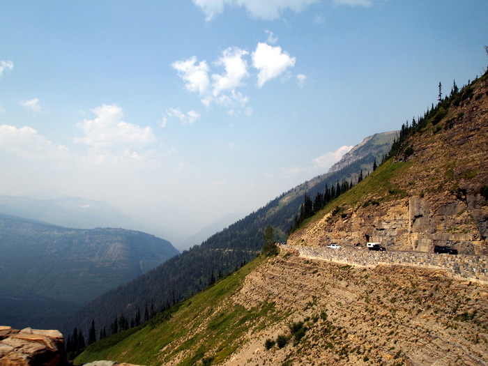
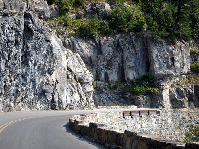
The portion of the road east of Logan Pass is the narrowest section with a sheer cliffs on one side, and a heart clenching drop down to the valley below on the other. Due to the tremendous amount of snow and avalanche activity the only barriers on this part of the road are short 2′ tall stone walls. Not really enough to stop a car from tumbling over the edge.
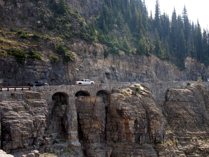
The road was constructed to blend in with the natural surroundings as much as possible. One of the best examples is the triple arches where the stone work is a near perfect match to the surrounding cliffs.
The only downside to our Glacier visit is the continued smoke in the air. The views of the tall peaks were severely muted by the thick blanket of smoke that hung in the air. You can imagine how stunning it must be on a clear day.
As we neared the top of Logan Pass we spotted a mountain goat sunning himself high up on a cliff.
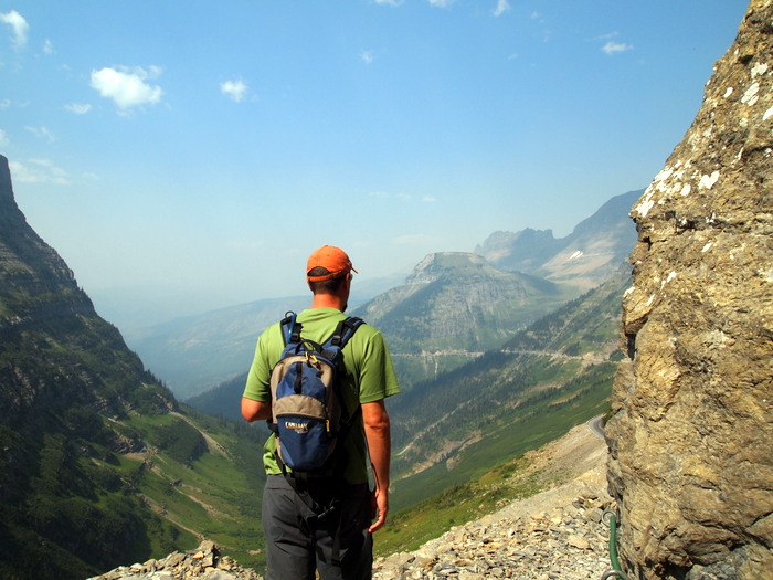
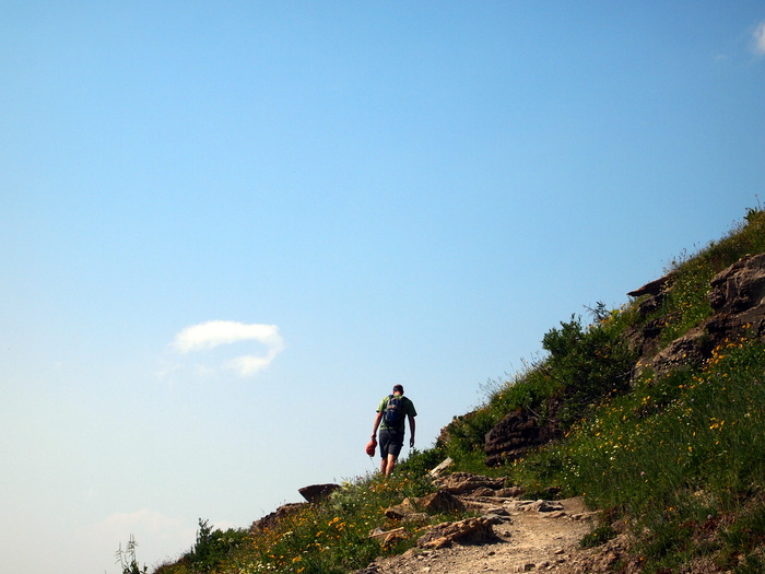
After circling the parking lot at Logan Pass for a bit we snagged a spot and off on our hike we went. We thought about hiking out to Hidden Lake, but part of the trail was closed due to heavy bear activity so we decided on the Highline Trail instead. What a choice it was! I can honestly say this was one of the best hikes I’ve ever been on. The trail offers a breathtaking view of the park (even with the smoke) while traveling along a cliff, through meadows and up to Haystack Butte. The entire trail runs 11.6 miles one way from Logan Peak to the Loop section of the GTTS road. We didn’t have the time or energy to hike 23 miles, so we opted for the shorter 7 mile round trip to Haystack Butte.
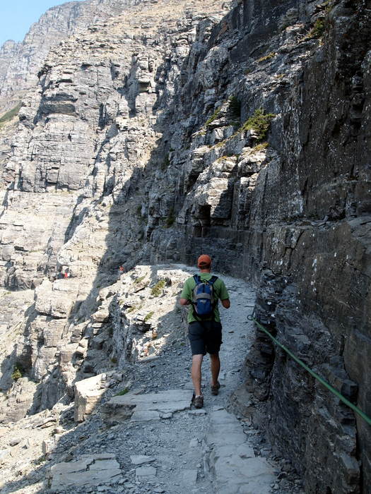
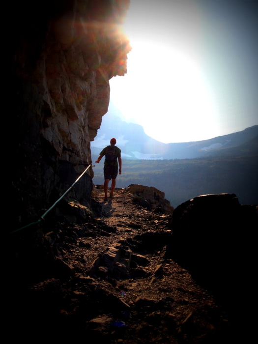
Here’s Tim at the start of the trail. Notice the garden hose hand rails in case you need something to hang onto. There’s actually a steel cable under the hose, but the rubber is much nicer on the hands.
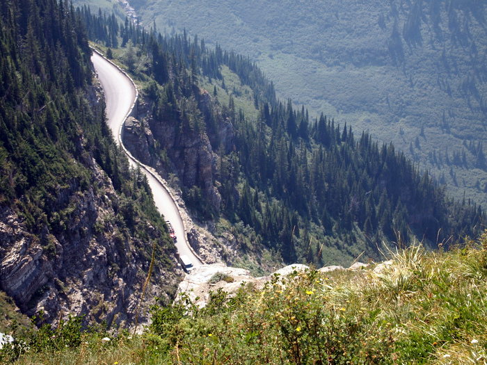
On some sections of the trail you could look down at the road below.
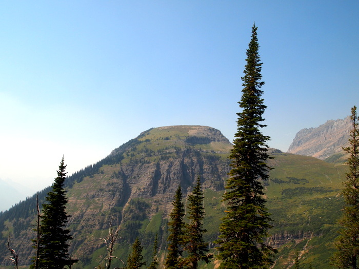
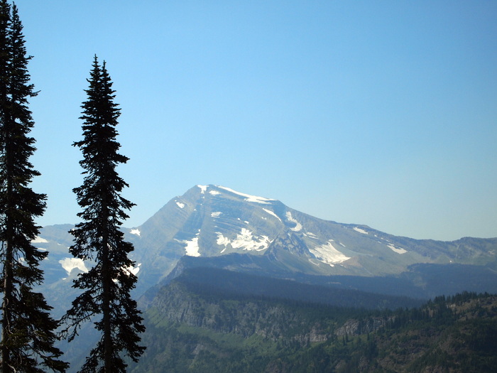
This is Haystack Butte. The trail didn’t lead to the top, but instead went around the back where the view must be fantastic on a clearer day.
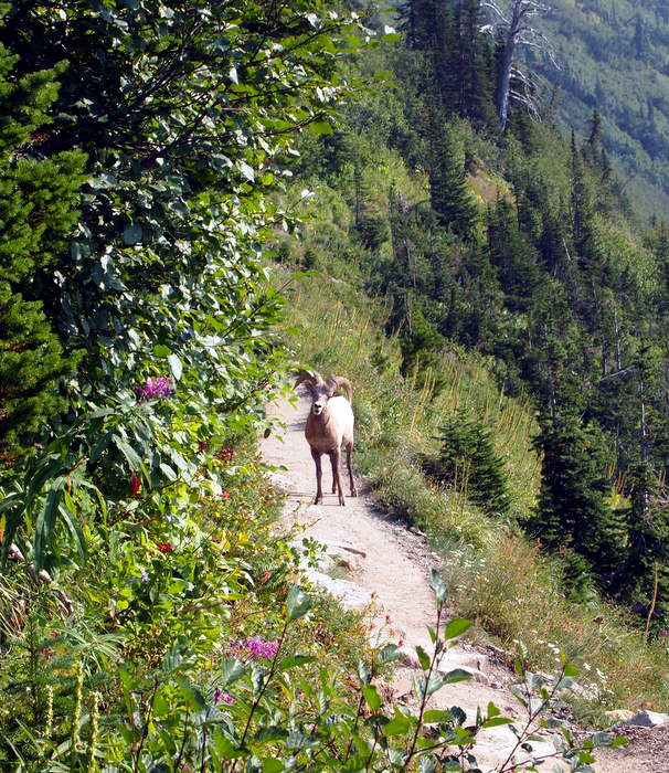
We had our closest wildlife sighting yet on the return trip back to Logan’s Pass. We came up over a hill to find to hikers stopped in the middle of the trail with a big horn sheep right in front of them. He looked at us for a minute before leaping up the hill to join his friends as they munched on some flowers.
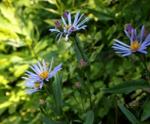
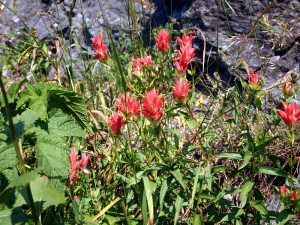
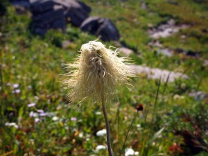
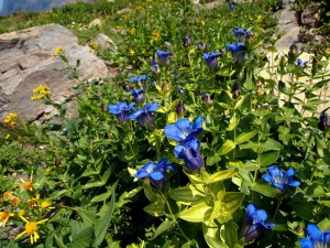
Despite the lateness of the season, Glacier NP is just covered with wildflowers. As we hiked along the mountain side I was in awe of lush greenery and colorful blooms. Here are just a few of the flowers we saw.
As we neared the end of the hike the sun was low in the sky. I love this picture of Tim as he rounds the corner of a cliff.
Day 3:
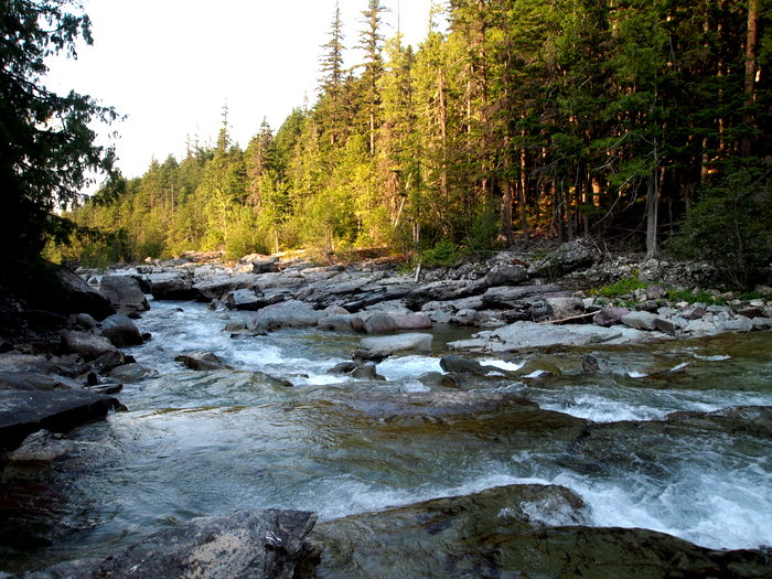
Our third day in the park began much the same as the day before. Tim spent the morning working while Phin and I went in search of some water to burn off his energy. This time we choose a flatter section of the river for him to play in.
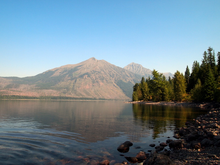
When a man showed up with a fishing pole I felt bad for all the commotion we were causing so we packed up and headed down the road a few miles to Lake McDonald.
Phineas enjoyed his lake time greatly. So much that at the end I had to drag him back to the truck.
We headed up the GTTS road in the afternoon for another hike. It was still smoky, but the skis had cleared up a bit compared to the day before.
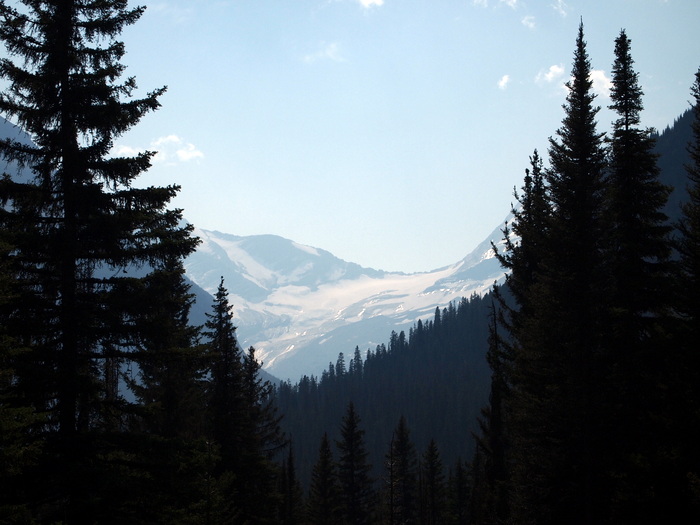
It was right after I took this picture that the camera battery died and then I realized that the back up one was also almost dead. Oopps. Guess we need to be better about keeping them charged. We were able to snap a few more shots, but most of the hike had to pass undocumented. On the far side of Logan’s Pass we stopped for a quick view of the Jackson glacier.
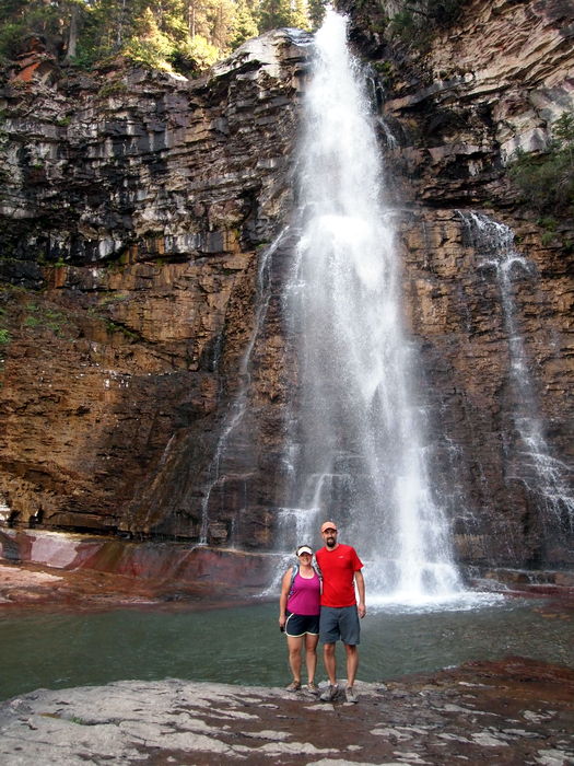
Our hike descended through the forest to St Mary’s waterfall and then up to Virginia falls. St. Mary’s was a pretty typical looking waterfall so we didn’t waste any of our precious camera battery on it. Probably the most noteworthy feature of St. Mary’s was the almost turquoise colored water at the bottom of the falls- simply stunning. Virginia Falls was huge. You could hear the deafening sound of the falls long before it came into view. The water cascaded over a steep cliff and fell 50′ to the pool below before continuing down the mountain side.
Day 4:
Today we left Avalanche campground and headed to Apgar campground on the very western edge of the park adjacent to Lake McDonald. Here we are able to get a decent internet signal which means we can stay for a few more days while we continue to explore the park. Apgar is a pretty big campground and the sites are larger which means its full of RVs. Still lots of trees, but a bit more open and we got a nice dose of sunlight this afternoon.
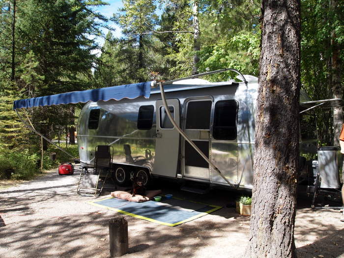
Here we are in our site. Notice the generator on the side.
This is our 10th day dry camping (which means no electric, water of sewer hook up). We’ve dumped the grey and black tanks twice and topped off our fresh water tank 3 times, but no power except what we get from the truck while driving and our generator for a few hours every couple of days. It’s been interesting to learn about our power usage and what uses the most power. Seems like our biggest use of power is the Internet. On days when we have the Internet amp and wireless router on we use much more power then days we don’t. Those days we also use our computers much more, which means powering them as well. Our generator is very quiet, more like a purr than a motor, and it uses a very tiny bit of gas, so turning it on for an hour or two is no big deal, but it’s still fun to try and see how little power we can use.
Tomorrow is our last day in the park and we plan to drive up what we suspect is a little used dirt road for a hike out to a small lake. All three camera batteries are charged and ready to go this time so get ready for more pictures. Who knows, maybe we’ll even finally see a bear.



4 comments
If you guys are still there and have the time I highly recommend hiking up to Sperry Chalet. Its about 6 miles in and when you get there you can have pie and coffee. Then go a little further up behind it to the top of Lincoln Pass. There is a small summit you can do from there just off to your right, amazing views! Was my favorite hike out of over 100 miles of hiking there last year.
We’re headed out this morning, but that sounds like an awesome hike (especially the pie at the chalet). We’ve already decided that we need to come back here in the next few years so this hike will definitely go on our list for next time.
I was just wondering what the length of your trailer and tow vehicle is combined? My wife and I are planning a trip to Glacier in august and our combo length is 48 ft. your airstream looks longer. I hope we can find a campground where we can fit. I love your photos. I think ill need to invest in a better camera before we head out there.
So sorry I missed replying to this comment for so long. Our Airstream is 25′, and with our truck and hitch we measure around 46′. Avalanche campground was a tight fit for us, but Apgar had plenty of big sites and many RVs much longer than us. Have fun!